
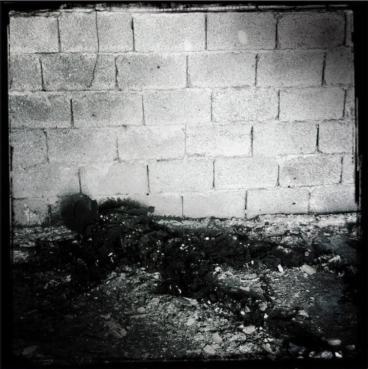
During the 1991 Desert Storm war, the retreating Iraqi military lit more than 600 Kuwaiti oil wells on fire to hinder the allied forces' advance, leading to an environmental catastrophe. It took nearly 10 months before all the fires were extinguished. Image: Courtesy of Christopher Morris, VII
Investigating War Crimes: Environmental and Property Damage
Read this article in
Resource Guide
GIJN Reporter’s Guide to Investigating War Crimes


Resource Guide Chapter
Investigating War Crimes: Introduction

Resource Guide Chapter
Investigating War Crimes: What Is Legal in War?

Resource Guide Chapter
Investigating War Crimes: Attacks on Civilians
Resource Guide Chapter
Investigating War Crimes: Forced Displacement
Resource Guide Chapter
Investigating War Crimes: Starvation

Resource Guide Chapter
Investigating War Crimes: Conflict-Related Sexual Violence
Resource Guide Chapter
Investigating War Crimes: Environmental and Property Damage

Resource Guide Chapter
Investigating War Crimes: Banned and Restricted Weapons
Resource Guide Chapter
Investigating War Crimes: Arms Trade

Resource Guide Chapter
Investigating War Crimes: Combatants and Others Engaged in Hostilities

Resource Guide Chapter
Investigating War Crimes: Genocide and Crimes Against Humanity

Resource Guide Chapter
Investigating War Crimes: Collecting and Archiving Evidence and Information

Resource Guide Chapter
Investigating War Crimes: Open Source Research

Resource Guide Chapter
Investigating War Crimes: Command Structures

Resource Guide Chapter
Investigating War Crimes: Tracing War Criminals

Resource Guide Chapter
Investigating War Crimes: Finding the Missing

Resource Guide Chapter
Investigating War Crimes: Documenting with Photo and Video

Resource Guide Chapter
Investigating War Crimes: Interviewing Victims and Survivors

Resource Guide Chapter
Investigating War Crimes: Physical and Digital Security

Resource Guide Chapter
Investigating War Crimes: Self-Care for Covering Traumatic Events

Resource Guide Chapter
Investigating War Crimes: Resources and Tipsheets
Resource Guide Chapter
Investigating War Crimes
Resource Guide Chapter
GIJN Launches First E-Book — Reporter’s Guide to Investigating War Crimes
The wanton destruction and humanitarian suffering caused by wars and armed conflicts often echo long into the future. Beyond the direct impact on people’s lives, armed conflict and its consequences also impact natural resources, livelihoods, and ecosystems.
These environmental aspects of armed conflict have long been understudied, and it’s often referred to as the “silent casualty” of war. This lack of interest can largely be explained by limited research and the often hard-to-visualize damage to nature. As a result, devastating ecological and human health consequences have gone unrecorded — and have often not been accounted for.
There are a few notable exceptions that have drawn international attention to the relationship between war and nature. The use of the toxic defoliant Agent Orange by the United States military in Vietnam caused widespread damage to forests, exposed soldiers and civilians to dioxin, and left a deadly legacy of birth defects and other health consequences among Vietnamese people. In 1991, the retreating Iraqi Army set fire to more than 600 oil wells in Kuwait, causing blackened skies and a regional drop in temperature. The shocking images of hundreds of wells burning and a sun-blocked horizon became a wake-up call for the international community. And though the well fires were all extinguished within 10 months, the long-term soil and water pollution took decades to clean up.

Nguyen Thi Ly, 9, who suffers from disabilities related to the use of Agent Orange by the US military, in her home in the Ngu Hanh Son district of Da Nang, Vietnam on July 9, 2010. Image: Courtesy of Ed Kashi, VII
The silver lining of these disasters was increased attention to the environmental dimensions of armed conflict. A 2001 United Nations General Assembly resolution declared November 6 as the International Day for Prevention the Exploitation of the Environment in War and Armed Conflicts, and provided a stepping stone for the UN Environment Programme (UNEP) to conduct work on post-conflict environmental assessments. Though helpful, these often came with financial limitations or time constraints, and the implementation of its recommendations remain complicated. Compilations like Armed Conflict and Environmental Damage, combined with academic research, provide a useful starting point to dissect the various causes and consequences and build better policy responses.
The Internet and Innovation of Conflict Analysis
The change in urgency to address the environment as an intrinsic part of conflict analysis took a turn in the early 2010s with the rise of smartphones and wider access to the internet. The abundance of videos, photos, and other information shared online has provided journalists, researchers, and civil society organizations with direct and timely access to data of conflict events. This has brought forth a new form of digital open source investigations which can help track down perpetrators of war crimes and human rights violations.
At the same time, there was a revolution in public access to remote sensing data from satellite systems, providing near real-time insights into armed conflicts. This also allowed academics and civil society organizations to use Earth observation tools to identify and monitor changes in the natural environment in conflict-affected areas.
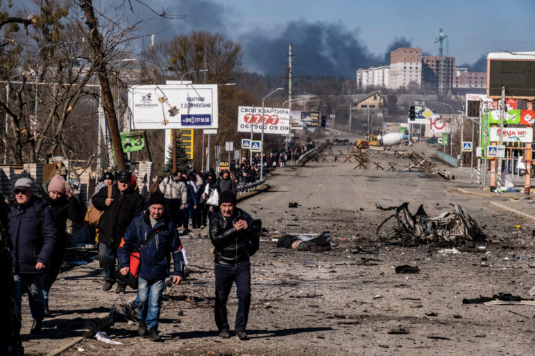
The environmental damage wrought by armed conflicts includes a wide spectrum of topics that now can be both qualitatively and quantitatively assessed through satellite imagery and social media tracking. This ranges from direct bombings of facilities storing hazardous chemicals such as industrial sites or oil refineries, to wide-scale destruction of urban areas via explosive weapons. Beyond these direct impacts there are often broader, environmental side effects, like the collapse of governance impacting waste management, increase of unregulated natural resource exploitation like deforestation or poaching, unsustainable practices such as makeshift oil refining and wider concerns over biodiversity loss.

Image: Environmental Armed Conflict Assessment Using Satellites: Mendez, Fernando & Valánszki, István, Journal of Environmental Geography, 13. 1-14. 10.2478 (2021)
With these new tools and methods also comes the ability to quantify the environmental loss and damage linked with armed conflicts. This data can be essential throughout the cycle of conflict.
First responders and humanitarian organizations can use the information during the conflict to prioritize support, while relevant authorities can apply this to conduct post-conflict environmental assessments for clean-up remediation and restoration efforts.
Lastly, there is a growing trend towards holding military actors, both states and non-state actors, accountable for the environmental damages, either through improving existing legal practices or developing new principles such as “ecocide” under the Rome Statute. Beyond conflict-linked environmental damages, there are also numerous examples of researchers and journalists using open source reporting to track environmental crimes, such as wildlife trafficking and unregulated artisanal mining practices.
Analyzing the Impact of Conflict on the Environment
The first step in assessing the environmental impact of war involves verifying and safely storing any data. This means archiving all the imagery, footage, and social media content, which can be done through various means. One popular tool used by law-enforcement agencies as well as journalists is Hunchly, an app that captures your browser activity and archives the data in a tamper-proof way so it can be later used in judicial proceedings. There are also initiatives such as Mnemonic, which archives all the online data captured in an investigation, with examples from Syria, Yemen, and Ukraine.
Data on conflict-events can be found on a wide-range of social media, but which one will be relevant depends on the popularity of specific platforms per country. In Eastern Europe, Russia, and the Central Asian countries, for example, VKontakte and Telegram are more popular than TikTok, Twitter, and Instagram. But those latter sites are a better resource when investigating in East Asia and Europe. In many African countries, Facebook is an important social media platform. Each of these platforms present their own unique challenges in terms of collecting and verifying data. Bellingcat provides an excellent overview in its Online Investigation Toolkit, which guides users on what data can be found where.
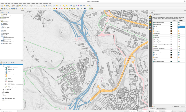
Building a research base from existing datasets can be a useful way to begin mapping conflicts. The Humanitarian Data Exchange website contains a variety of relevant datasets provided by UN agencies and humanitarian groups that is an essential starting point, whether it’s analyzing population, settlements, urban damage assessments, or access to water. The website also includes data from global conflict monitoring trackers such as ACLED, which uses open source information on bombing, airstrikes, and riots, that can be downloaded in raw formats and processed with geo-information tools like QGIS. Other open source alternatives with both free and paid options include Liveuamap, one of the first conflict tracking sites that shaped reporting on the Syrian civil war and is now being used to monitor the Russian invasion of Ukraine. There are also regional monitoring sites that are often quite accurate, such as the Rojava Information Centre in northeast Syria, the Counter Extremism Project in Central Syria and conflict tracking projects from Bellingcat and the Centre for Information Resilience on Ukraine and Myanmar. Similar projects can be found in different geographical regions in the world.

Regional monitoring sites, like the Counter Extremism Project in Syria, can be useful resources for tracking environmental or property damage during wars or conflict. Image: Screenshot, Counter Extremism Project
Satellites: A Key Resource
There are many constellations of satellites orbiting Earth with both optical (passive) and radar (active) sensors, capturing what is happening below them. From low-resolution data that is used for meteorological observation to very high-resolution imagery that can spot individuals, Earth observation is a vital asset in the open source research toolkit. Luckily for researchers, a substantial amount of this data is free, either directly from the source such as NASA and its European equivalent ESA, or provided by third-party online platforms. Here are a few helpful “eyes in the sky” tools. (For more detailed information, see the GIJN overview on satellite imagery.)
- Sentinel-Hub: This platform hosts a wealth of free medium- to low-resolution (10 – 500 meter) satellite sensor data, including NASA’s Landsat imagery (with archives going back to the 1990s), ESA’s Sentinel constellations data, including MODIS, Sentinel-2/3 optical data, Sentinel-1 radar data and Sentinel-5P atmospheric monitoring data. With a minimum of five-days orbit for Sentinel-2, there is also the opportunity to obtain up-to-date imagery. The latter is helpful in detecting pollution from large emitters. The platform also provides the option to buy high-resolution images (0.4 – 3 meter) from Airbus, Maxar, and Planet. The free Sentinel Playground version is limited but has some very useful options. The paid-tier Sentinel EO Browser offers access to all imagery and includes options for making time-lapse images, downloading raw data, buying high-resolution photos and making 3D landscapes. However, there are options for researchers to get a grant for free access to EO Browser data. Sentinel-Hub users have also developed a wide-range of custom-made scripts that can be applied to track oil spills, deforestation, wildfires, burned areas, and flooding, including a special focus on conflict- linked environmental damage.
- Google Earth Pro: This go-to tool offers very high-resolution imagery from Maxar and Airbus and can be a key tool identification and geolocation. The desktop version also has historic image data, which is helpful to track environmental changes at a certain location. It also includes measurement options, the ability to create polygons, download imagery, and build databases by pinning locations, among many other things.
- EarthView: This Earth observation platform by NASA has a wealth of medium- to low-resolution imagery with a plethora of sensor systems, some of them showing the Earth in near real-time with updated low-res photos every hour. The website provides different types of data on hazards and disasters that can be used in conflict tracking. Of particular use is NASA’s Visible Infrared Imaging Radiometer Suite (VIIRS), which can be used to detect heat signatures. This is helpful to see if an attack took place that resulted in something burning, or find flaring locations from the oil and gas industry.
Climate and Environmental Datasets
When researching the environmental context of a conflict area, there are also large pre-existing datasets that are extremely helpful to understand what is happening on the ground over time. The rise of data platforms with ready-to-use analysis is an added value of the growth of Earth observation, which makes this data easier to use for non-experts, yet still quite reliable. One important database is the Global Forest Watch, in which users can get aggregated data on tree-cover loss per country, and also recent satellite imagery. This initiative is part of the wider datasets developed by the World Resource Institute in their Resource Watch portal with hundreds of options to choose from, including water stress, endangered species, nature reserves and croplands, just to name a few. Diving into the oil business, SkyTruth is an invaluable resource for tracking flaring locations and quantifying air pollution, while providing excellent intelligence on oil spill reports. For those willing to take a deep dive into Earth observation, the UN’s Food and Agriculture Organisation (FAO) has set-up a collaboration with Google Earth Engine and developed Earth Map, a toolkit with multiple layers of data on anything environment related.
Background data on country-specific environmental dynamics and legacy pollution issues can easily be accessed through data submissions to the UN. The UN Convention on Biological Diversity and the UN Convention to Combat Desertification hosts country profiles with national reports, while United Nations Development Programme and United Nations Environment Programme often also have specific (post-conflict) environmental reports. All these tools and datasets are merely the tip of the iceberg, yet provide a good starting point for exploring specific conflict-linked environmental cases and build accountability for environmental damage caused by states or non-state armed groups.
Using a layered-based approach with pre-existing datasets, humanitarian data, and satellite imagery for verification, researchers can now identify and track specific conflict-linked environmental damage. While the long-term impacts often take time to quantify, a wealth of information can now be collected, visualized, and used for improving environmental policies in humanitarian response and accountability mechanisms.
Environmental War Crimes?
There are currently limited options to hold states and non-state armed groups legally accountable for environmental damages. The bar for breaching international humanitarian law on environmental damage is quite high. Specifically, it requires documenting “widespread, long-term, and severe damage to the natural environment,” but this is a threshold that, notably, has never been met officially. Under the Rome Statute of the International Criminal Court, the threshold is even higher, as such damage can be considered a war crime only if it also violates the principle of proportionality (if it is excessive to the direct anticipated military advantage).
Causing damage to the environment can also violate other rules of international humanitarian law, some of which could constitute war crimes, such as destruction of objects necessary to the survival of the civilian population, the destruction of certain industrial installations such as dams, dikes, and nuclear electrical generating stations, or damage directly causing displacement. Other principles of international law may also provide protections for the environment, although their application in armed conflict is not always straightforward. The International Law Commission has adopted a set of Draft Principles on Protection of the Environment in Relation to Armed Conflicts, which provide some legal guidance, and the International Committee of the Red Cross has published Guidelines on the Protection of the Natural Environment in Armed Conflict which also provide tips for implementation by parties to an armed conflict. While the law in this area develops, in many cases it may be political accountability which has a stronger voice.
The Russian invasion of Ukraine could be a catalytic moment for building better environmental monitoring and accountability policies among states, international organizations, and NGOs. In Ukraine, civil society groups and government agencies use public media reporting to map areas on the Ecodozor website to show where potential environmental damage has occurred. The Centre for Information Resilience includes verified data on environmental harm and damage to civilian infrastructure in its Eyes on Russia project, and at PAX for Peace all this data is collected and analyzed in order to be published in detailed Environment and Conflict Alerts. All these efforts have spurred governments into action as now there are state-sponsored and UN-backed initiatives to identify and monitor conflict-linked environmental damage, such as this UN Coordination Centre for Environmental Damage Assessment in Ukraine. Such efforts could provide a useful staging ground for future prosecution of states for environmental damage, though the forum and framework for that has yet to be determined.
Case Studies
Illegal Logging of Syria’s Maydanki Lake Forest
More than a decade of civil war has had serious implications for Syria’s forest, the Environmental Journal Atlas documented how spiking fuel prices have seen civilians and Turkish-backed armed groups resort to uncontrolled logging of the Maydanki Lake forest to get firewood for cooking and heating. Social media reports combined with Global Forest Watch data provided an excellent tool to quickly check areas of main forest loss, while using other satellite imagery provided more details.
Leaking Ghost Tankers in Yemen’s Port of Aden
In 2015, after heavy fighting in the Yemeni civil war, oil tankers were abandoned in the Port of Aden and frequently leaked heavy fuel, causing local environmental impacts and affecting livelihoods. Using Planet and Sentinel-2 data, as well as historical high-resolution data from Google Earth Pro and shipping manifests from the Yemen Port Authorities, PAX for Peace identified the different tankers and their owners and the article helped to raise funds for an environmental assessment and clean-up.

PAX for Peace used Planet and Sentinel-2 satellite images to identify “ghost tankers” abandoned in the Port of Aden that were causing environmental damage from leaking oil. Image: Screenshot, PAX for Peace
Ticking Toxic Time Bomb in Ukraine’s Donbas
Before Russia’s 2022 invasion, the risk of environmental disaster was already apparent in the Donbas, due to shelling of industrial sites over the previous eight years. In this 2017 Bellingcat article, open source datasets were combined with the Flash Environmental Assessment tool to provide an overview of ecological risks associated with specific facilities storing hazardous substances in case they were hit by artillery.
Additional Resources
Tracking Environmental Crimes During the War in Ukraine
Reporter’s Guide to Investigating War Crimes: Open Source Research
Reporter’s Guide to Investigating War Crimes: Attacks on Civilians
 Wim Zwijnenburg is a Humanitarian Disarmament Project Leader for PAX. He works on conflict and environment related issues in the Middle East, the use and proliferation of emerging military technologies and the arms trade.
 Ron Haviv is a director and co-founder of The VII Foundation and co-founder of VII Photo Agency. In the last three decades, Haviv has covered more than 25 conflicts and worked in over 100 countries. His work, which has won numerous awards, is featured in museums and galleries worldwide.

Reporter’s Guide to Investigating Cryptocurrency
Tipsheet on Partnering with Civil Society Organizations and Non-Governmental Organizations

AI Accountability Reporting Guide
Guide to Mapping Analysis Using QGIS
How a WhatsApp Community Is Bringing India’s Data Storytellers Together

How StreetPress Became France’s Far-Right Investigations Engine

World Cup 2026: Investigations, Data Dives, and Podcasts Covering the Global Football Tournament
Curiosity and the Long Road to the Truth: Lessons from an Award-Winning Portuguese Reporter

This work is licensed under a Creative Commons Attribution-NoDerivatives 4.0 International License
Republish our articles for free, online or in print, under a Creative Commons license.
Republish this article
This work is licensed under a Creative Commons Attribution-NoDerivatives 4.0 International License
Read Next
Data Journalism
How a WhatsApp Community Is Bringing India’s Data Storytellers Together
Recently, more than 400 people gathered in the Indian city of Bengaluru for VizChitra 2026, a conference on data visualization and storytelling — but that is only a small part of the story.
News & Analysis
How StreetPress Became France’s Far-Right Investigations Engine
Launched with just a €5,000 loan in 2010 by three journalists in their twenties, this scrappy investigative outlet now plays an outsized role in setting the national news agenda.
World Cup 2026: Investigations, Data Dives, and Podcasts Covering the Global Football Tournament
How investigative and data journalists covered the world’s most popular sports event, from FIFA to footwear.
10 Questions
Curiosity and the Long Road to the Truth: Lessons from an Award-Winning Portuguese Reporter
The journalist explains how he has built a career around long-form investigations, and delves into the process behind his recent book exposing the far-right in Portugal.