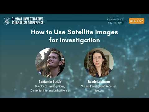
GIJC23 – How to Use Satellite Images for Investigation
Satellite images play a crucial role in many investigations. Reporters are using them to analyze battlefields and war crimes. Eyes from above also are invaluable for many kinds of climate change stories, such as to document methane emissions, drought, and sea level rise. Our expert panelists will discuss many possible opportunities for using satellite images. They will explain where to find satellite images and walk through practical advice on how to use them for investigation.
———————–
The Global Investigative Journalism Network is an international association of journalism organizations that support the training and sharing of information among investigative and data journalists—with special attention to those from repressive regimes and marginalized communities.
Our key activities include:
Providing resources and networking services to investigative journalists worldwide;
Publishing in multiple languages and on multiple platforms the latest tools, techniques and opportunities for those in the field;
Helping organize and promote regional and international training conferences and workshops;
Assisting in the formation and sustainability of journalism organizations involved in investigative reporting and data journalism around the world;
Supporting and promoting best practices in investigative and data journalism;
Supporting and promoting efforts to ensure free access to public documents and data worldwide.
Find more information on our website: https://gijn.org


