Resource Video
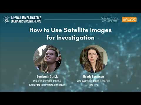
GIJC23 – How to Use Satellite Images for Investigation
Satellite images play a crucial role in many investigations. Reporters are using them to analyze battlefields and war crimes. Eyes from above also are invaluable for many kinds of climate change stories, such as to document methane emissions, drought, and sea level rise. Our expert panelists will discuss many possible opportunities for using satellite images. […]

