Tipsheet Investigative Techniques Reporting Tools & Tips
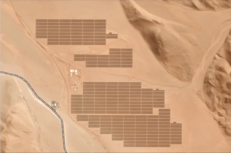
Reporter’s Tipsheet for Acquiring Free Satellite Images
There is a treasure trove of compelling visual evidence out there that is going unused by many watchdog journalists. Here’s how to find it.