Accessibility Settings

color options

monochrome muted color dark

reading tools

isolation ruler

Tag

satellite imagery

34 posts

Data Journalism News & Analysis

From Space to Story in Data Journalism

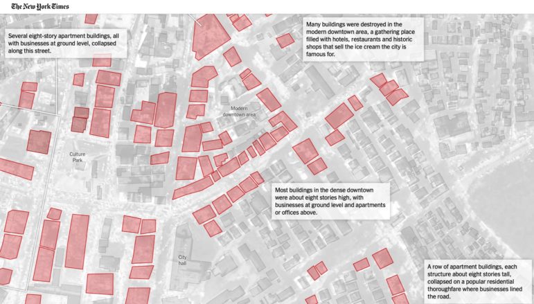
Over the past 10 years satellite imagery has become an important component of data journalism. In the next 10, it will likely evolve further, from a tool used primarily for illustrating stories to an integral part of research and investigative reporting.

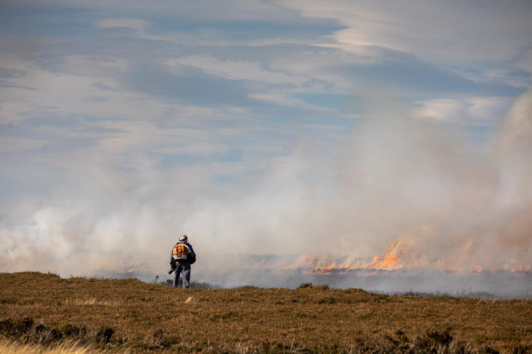
Peatland Burning on North York Moors UK

Methodology Reporting Tools & Tips

Using Satellites to Reveal the Burning of the UK’s Protected Moorlands

How Greenpeace’s investigative site, Unearthed, used satellite imagery and database mapping to reveal hundreds of fires on environmentally protected land in the English moors – including dozens that could be illegal.

Resource

AI Journalism Lessons from a 150-Year-Old Argentinian Newspaper

For newsrooms looking to deepen their understanding of how artificial intelligence could be used for investigative reporting, the 150-year-old Argentinian newspaper La Nación is blazing a trail and has produced a diverse range of stories assisted by AI technologies and has created an AI lab.

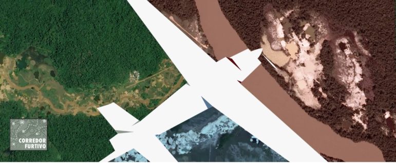
Satellite imagery of the Amazon forest

Investigative Techniques Reporting Tools & Tips

Journalists’ Guide to Using AI and Satellite Imagery for Storytelling

Satellite imagery provides information that can enhance the ability to write compelling narratives about the state of our planet, cutting across multiple beats. But such a tool tends to be complex and out of the reach for many journalists, so this guide offers a process that reporters interested in covering the climate crisis can use for story projects.