Methodology Reporting Tools & Tips
New Technology and Online Resources to Conduct Investigations With Old Photos
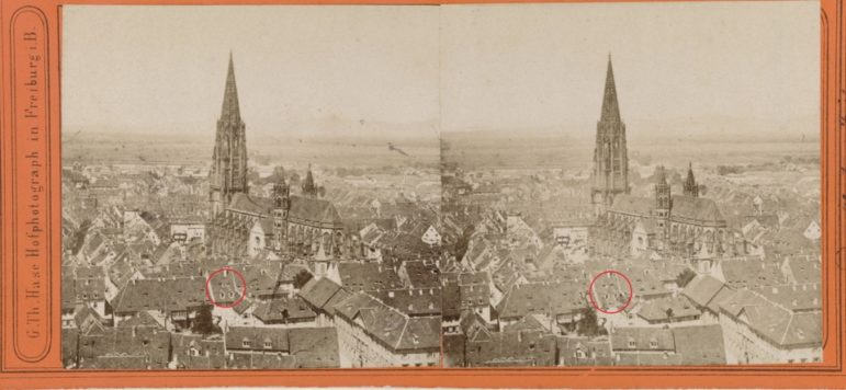
Bellingcat’s Foeke Postma offers tips and tools for using new technology and online resources to investigate old photographs.
Bellingcat’s Foeke Postma offers tips and tools for using new technology and online resources to investigate old photographs.
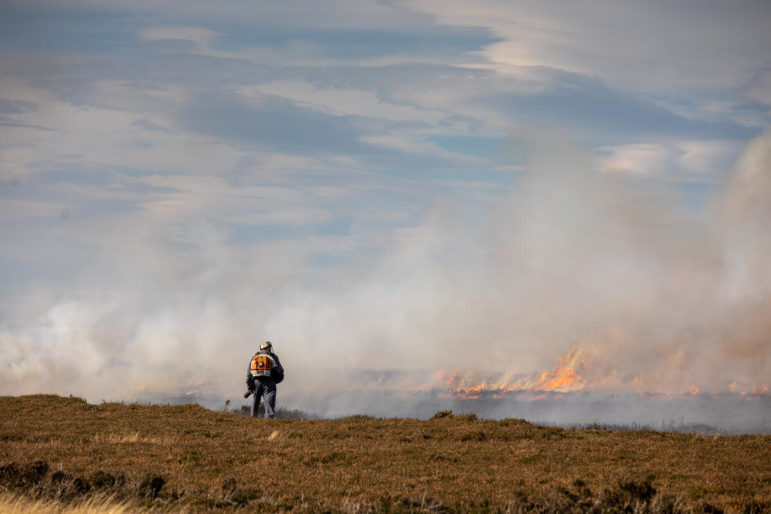
How Greenpeace’s investigative site, Unearthed, used satellite imagery and database mapping to reveal hundreds of fires on environmentally protected land in the English moors – including dozens that could be illegal.
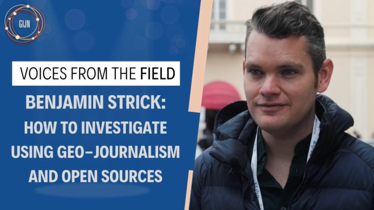
Speaking at IJF22, Centre for Information Resilience investigations director Ben Strick offered 10 tips for integrating geolocation and open source data in investigative journalism.
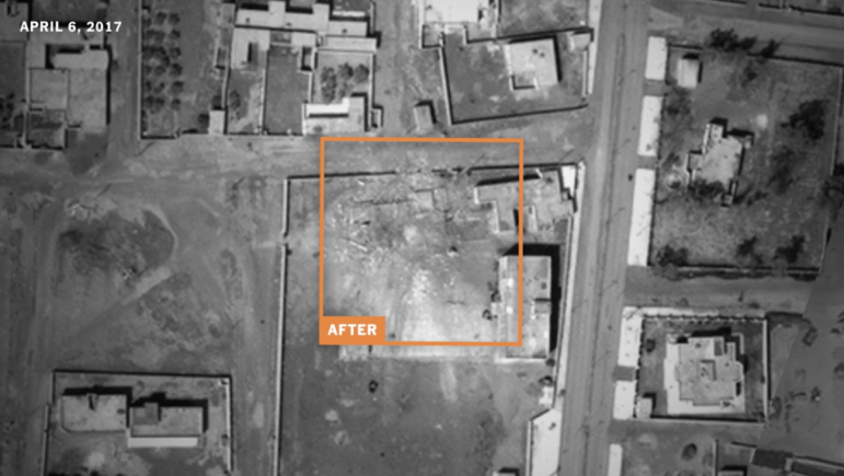
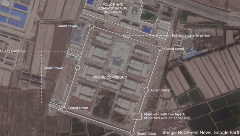
To get a behind-the-scenes look at The New York Times’ Pulitzer Prize-winning investigation into the civilian death toll of US airstrikes, GIJN interviewed two key members of the reporting team: Christoph Koettl, a member of the Times’ visual Investigations team, and the series’ lead reporter, Azmat Khan.
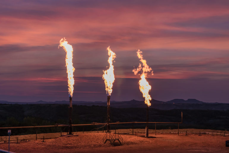
This edition of the GIJN Toolbox explores global databases and remote sensing resources that reporters can use to investigate local environmental threats.
Learning to make appealing and informative maps to support your investigative journalism is well worth doing. The good news is that there are significantly more mapping tools available today than there were five years ago and many of them have become very powerful.

One of our core missions at GIJN is providing journalists in the field with the latest tools and techniques. To do that, we work hard to find original stories that will be of immediate, practical help for watchdog reporters around the world. Here is a curated list of 10 of the notable stories we’ve published this year, reflecting our most popular articles, groundbreaking discoveries, topical issues, and stories you just shouldn’t miss.
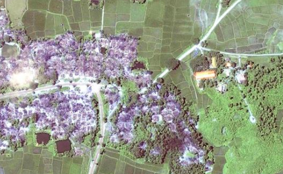
The democratization of satellite technology and the entry of private companies into the field of space means it’s now possible to have access to high spatio-temporal data at a very minimal cost, leading to interesting investigative stories. In the coming years as the democratization of satellite technology gathers pace, more and more cases that had been undocumented or unreported will see the light of the day.