Case Studies News & Analysis
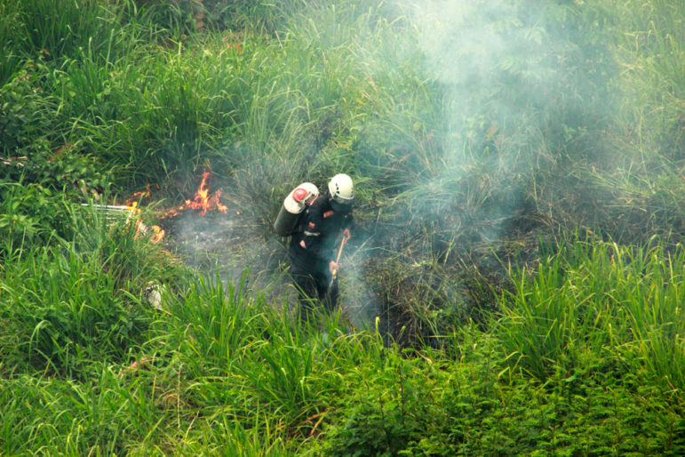
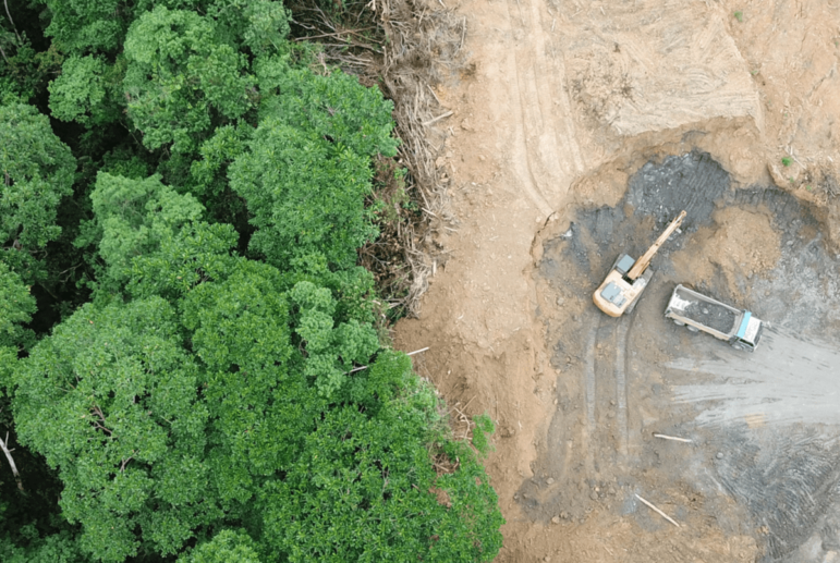
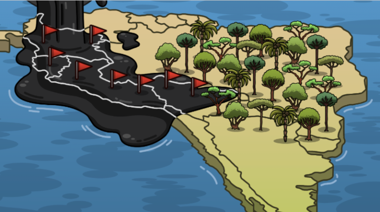
Investigating Oil Spills and Corporate Impunity in the Amazon
An interview with Alexa Vélez, managing editor of Mongabay Latam and the lead coordinator of the Stained by Oil investigative series on oil spills and corporate impunity in the Amazon region.