Accessibility Settings

color options

monochrome muted color dark

reading tools

isolation ruler

Tag

satellite images

6 posts

Reporting Tools & Tips

Investigative Tools That Reporters Love

There are scores of muckraking techniques that can help journalists gain access to elusive sources and data. Here we share the dozen online tools that leading reporters commonly praised in interviews with GIJN in the past year — and especially those that require few or no special digital skills.

Reporting Tools & Tips

My Favorite Tools: Geo-Journalist Gustavo Faleiros

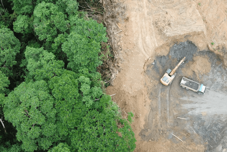
For our “My Favorite Tools” series, we spoke with Brazilian journalist Gustavo Faleiros, editor of environmental investigations at the Pulitzer Center where he leads the Rainforest Investigations Network (RIN), about mapping deforestation and using data to chart what is happening in global forests.

Case Studies

What Journalists Can Learn from Navalny’s Investigative Team in Russia

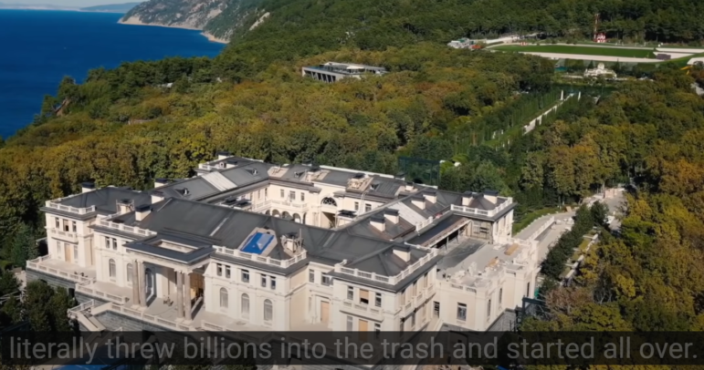
Despite its overt political objectives, the research section of FBK — an anti-corruption nonprofit founded by Russian opposition leader Alexey Navalny — has emerged as a potent investigative team that recently attracted 110 million YouTube views for a video that exposed massive corruption at a Black Sea palace. FBK’s head of investigations told GIJN about the methods the team uses for these investigations, and what professional journalists can learn from their approach.

Reporting Tools & Tips

My Favorite Tools with Quinto Elemento’s Marcela Turati

For our series on journalists’ favorite tools, we spoke to award-winning Mexican journalist Marcela Turati, co-founder of Quinto Elemento Lab, about the resources she uses to investigate disappearances in Mexico’s drug war. While information from victims’ families is paramount, she also shared insights on the value of open source tools, bank records, social media mining, and collaboration with nonprofit forensic teams in tracking the patterns behind the crisis.

Resource

Satellite Images as Proof

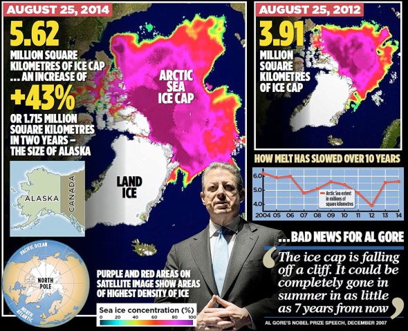
In the past week, three stories on three very different issues showed once again how satellite images, until recently confined to the weather report, are now the stuff of front-page news. All three are important stories with wide-ranging implications on public policy. But they also raise questions about the reliability of satellite imagery as proof and the ability of journalists – and their audiences – to make sense of them. Just like photographs, satellite images without context can distort the truth. And like photography, interpreting satellite imagery is as much art as it is science.