
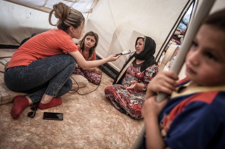
Satellite imagery has become a game-changer for investigative journalism, offering powerful tools to uncover hidden stories, monitor environmental changes, and expose human rights abuses. But access to satellite images can be costly and complex. Thankfully, a range of free resources and strategies now makes this invaluable information more accessible than ever.
This GIJN webinar explores how journalists can tap into free satellite imagery to enhance their reporting and uncover the stories the world needs to see.
The webinar brings together leading experts to share practical advice and tips on navigating this often-overwhelming field.
Carl Churchill is a journalist at The Wall Street Journal, where he covers data-driven investigations. He has used satellite imagery to reveal critical insights on environmental crises, supply chain disruptions, and global conflict zones.
Yao Hua Law is an award-winning journalist from Malaysia who has extensively reported on environmental and agricultural issues. His work often incorporates satellite imagery to track deforestation, illegal land use, and the impact of human activity on fragile ecosystems.
Laura Kurtzberg is a data visualization specialist, cartographer, and news applications developer with a particular interest in environmental stories.
The moderator was Manuela Andreoni, chief correspondent at Reuters based in Brazil.
Tipsheet on Partnering with Civil Society Organizations and Non-Governmental Organizations

AI Accountability Reporting Guide
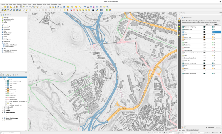
Guide to Mapping Analysis Using QGIS

Open Source Databases by Country
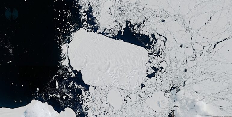
Turning the Threat to a Distant Glacier into a Local Story Through Data Visualization
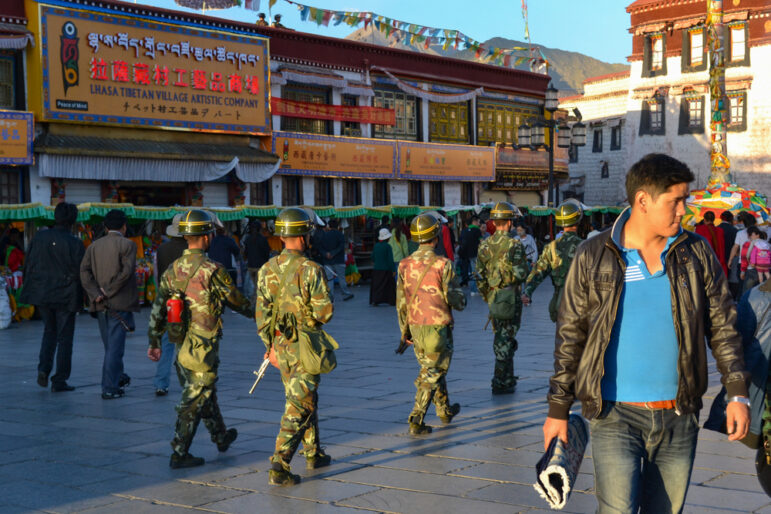
Exiled Journalists’ Tips for Source Protection and Avoiding ‘Propaganda Creep’

Women and LGBTQ+ People in Investigative Journalism: Challenges, Strategies, and What’s Next?

One Name at a Time: How Die Zeit Built a Searchable Database of Nazi Party Members

This work is licensed under a Creative Commons Attribution-NoDerivatives 4.0 International License
Republish our articles for free, online or in print, under a Creative Commons license.
Republish this article
This work is licensed under a Creative Commons Attribution-NoDerivatives 4.0 International License
Read Next
Climate Data Journalism
Turning the Threat to a Distant Glacier into a Local Story Through Data Visualization
New York Times climate and environmental graphics reporter Mira Rojanasakul discusses how her team visualized the sea level rise threat from the melting Thwaites Glacier in Antarctica.
Reporting Tools & Tips
Exiled Journalists’ Tips for Source Protection and Avoiding ‘Propaganda Creep’
Veteran exiled journalists from Iran, Venezuela, and Tibet discuss source protection best practices and publishing survival strategies when reporting on your home country from afar.
News & Analysis
Women and LGBTQ+ People in Investigative Journalism: Challenges, Strategies, and What’s Next?
At a 2026 Netzwerk Recherche conference panel, participants discussed their struggles and successes working as women and LGBTQ individuals in investigative journalism.
Data Journalism
One Name at a Time: How Die Zeit Built a Searchable Database of Nazi Party Members
An online tool set up by the German newspaper Die Zeit, in cooperation with archives in Germany and in the United States, allows people to search several million Nazi Party membership cards.