Reporting Tools & Tips
Mapping Migration Deaths with GIS Modeling
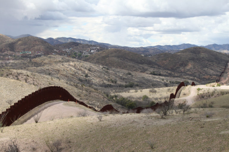
Geographical information system modeling — a digital technology that allows geographers to perform spatial, data-driven analysis of landscapes — is providing an insight into why some undocumented migrants perish while crossing international borders, including in the Sonoran desert on the border between Mexico and the United States.