Accessibility Settings

color options

monochrome muted color dark

reading tools

isolation ruler

Tag

remote sensing

4 posts
Peatland Burning on North York Moors UK

Methodology Reporting Tools & Tips

Using Satellites to Reveal the Burning of the UK’s Protected Moorlands

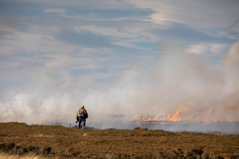
How Greenpeace’s investigative site, Unearthed, used satellite imagery and database mapping to reveal hundreds of fires on environmentally protected land in the English moors – including dozens that could be illegal.

Data Journalism

GIJN Toolbox: Satellite Data, Tracking Usernames, and Facial Recognition

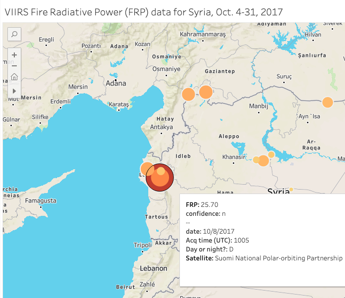
In this edition of The GIJN Toolbox — which surveys the latest tips and tools for investigative journalists — we’ll take a look at the process of analyzing satellite imagery derived from infrared radiation, a technique The New York Times used to cover a West Coast wildfire. We’ll also explore the controversial practice of using facial recognition technology, how to request NASA satellite data, a new document search tool from Google, and more.