Accessibility Settings

color options

monochrome muted color dark

reading tools

isolation ruler

Tag

makoko

2 posts

Reporting Tools & Tips

How to Expose Lies from the Skies Using Satellites and Drones

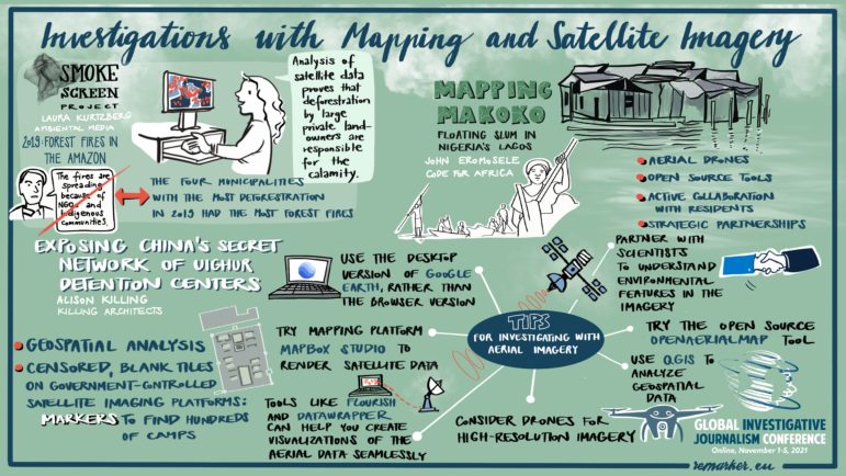
In a GIJC21 session on using maps and satellite imagery for investigations, three experts explained their approaches to analyzing satellite and drone images, and using open source tools. One of the innovative techniques described led to a Pulitzer Prize this year — for exposing China’s network of Muslim detention centers — while another exposed government deception about fires in the Amazon, and a third literally put a vulnerable community in Africa on the map.

Data Journalism

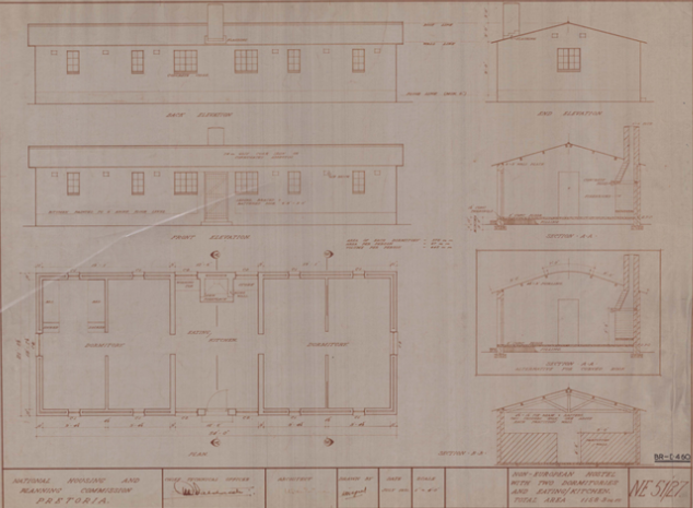
Data Journalism Top 10: Apartheid Architecture, Night Trains, Conflict Reporting, LGBTQ & Refugee Vaccines

Would you board a night train instead of a plane in order to help protect the environment? European policymakers hope more and more citizens will do so. Our NodeXL #ddj mapping from May 3 to 9, found an article by Bloomberg analyzing a plan to drastically cut greenhouse gas emissions by rolling out more cross-border rail lines. In this edition, we also feature a multimedia project looking at an architectural phenomenon linked to apartheid in South Africa, a Washington Post story about the true toll of the coronavirus pandemic in Mexico City, and a guide on using data in conflict reporting.