Accessibility Settings

color options

monochrome muted color dark

reading tools

isolation ruler

Tag

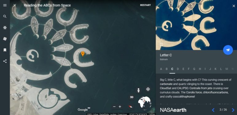
google earth

3 posts
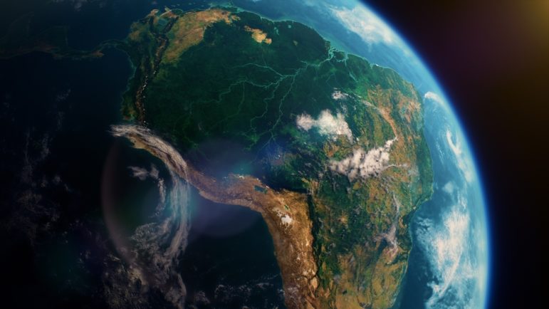
Satellite imagery of the Amazon forest

Investigative Techniques Reporting Tools & Tips

Journalists’ Guide to Using AI and Satellite Imagery for Storytelling

Satellite imagery provides information that can enhance the ability to write compelling narratives about the state of our planet, cutting across multiple beats. But such a tool tends to be complex and out of the reach for many journalists, so this guide offers a process that reporters interested in covering the climate crisis can use for story projects.

Reporting Tools & Tips

Get Your Google Earth On: A Trainer’s Guide

This ready-made course by Mike Reilley from The Journalist’s Toolbox is great for beginners or for trainers. It covers Google Earth Pro, Google Earth Engine Timelapse and Google Earth for Chrome and comes complete with ways to implement Google Earth into your own multimedia and specifics on teaching it in data journalism courses — all the way down to suggested assignments.