Accessibility Settings

color options

monochrome muted color dark

reading tools

isolation ruler

Tag

US-Mexico border

2 posts

Reporting Tools & Tips

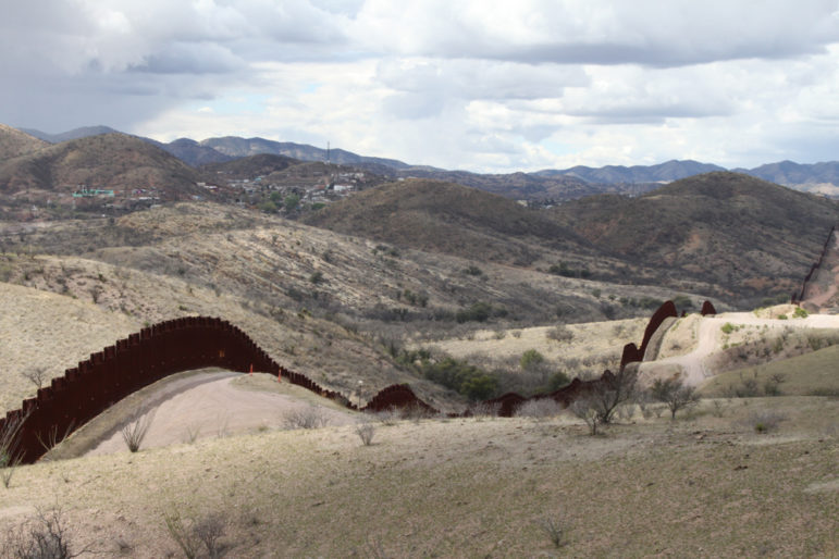
Mapping Migration Deaths with GIS Modeling

Geographical information system modeling — a digital technology that allows geographers to perform spatial, data-driven analysis of landscapes — is providing an insight into why some undocumented migrants perish while crossing international borders, including in the Sonoran desert on the border between Mexico and the United States.

News & Analysis

Double Exposure: 5 Investigative Documentaries to Watch

The Double Exposure film festival showcases the creative work of reporters and filmmakers who pursue investigations in the public interest. From a film shot in Wuhan’s hospital wards to an investigation into the murder of a member of North Korea’s ruling family, here are five of the top investigative documentaries featured at this year’s festival.