WEBINAR: How to Edit Data Stories in the Age of AI?
November 17, 2026 • 09:30
-
day
days
-
hour
hours
-
min
mins
-
sec
secs

Accessibility Settings

color options

monochrome muted color dark

reading tools

isolation ruler

Tag

OSINT

30 posts
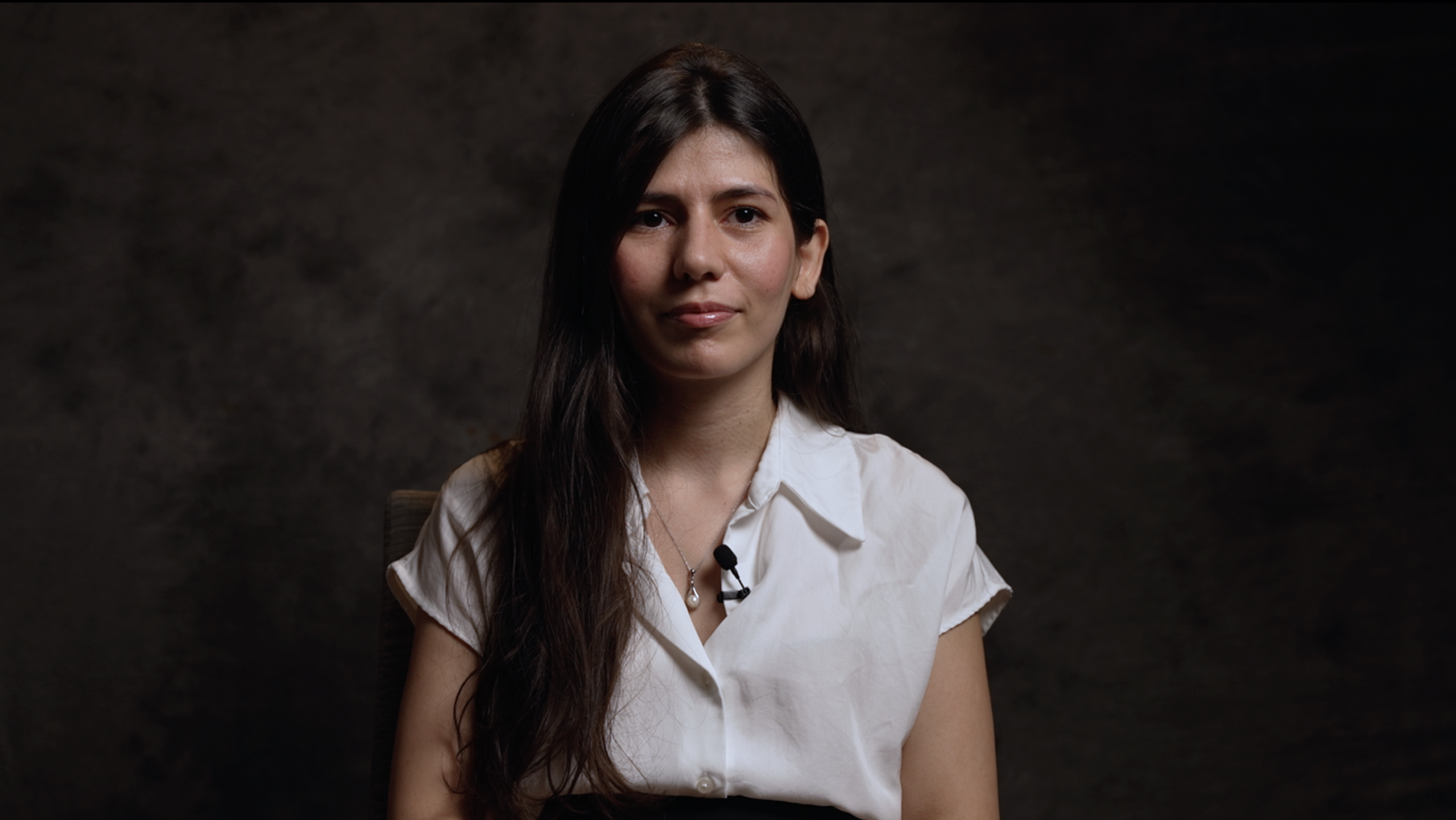
GIJN Academy masterclass video, getting started with OSINT, Sayyaera Mammadova

Getting Started with Open Source Tools and Tips
Sayyara Mammadova

Global Academy Webinars

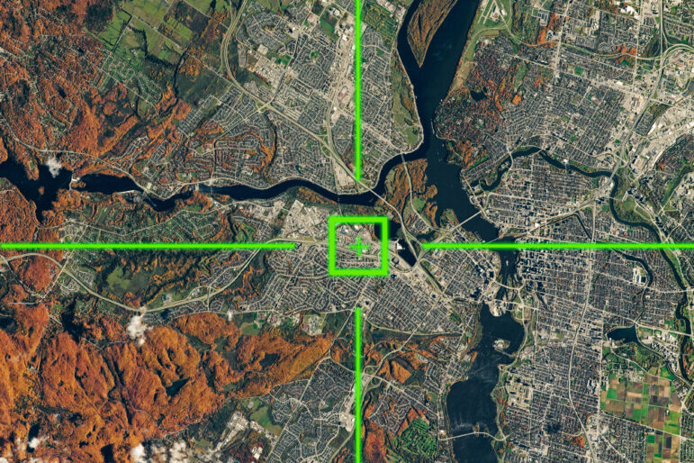
GIJN Webinar: How to Acquire Free Satellite Imagery for Your Investigations

This GIJN webinar brings together leading experts to share practical advice and tips on navigating this often-overwhelming field. Attendees will learn the best platforms and techniques for obtaining free imagery, strategies for analyzing and processing the data, and ethical considerations when using it in investigative stories. Whether you’re looking to track deforestation, document urban expansion, or investigate geopolitical conflicts, this webinar will equip you with the skills to get started.

News & Analysis

Deepfake Geography: How AI Can Now Falsify Satellite Images

With more sophisticated AI technologies emerging, researchers warn that “deepfake geography” could become a growing problem. As a result, a team of researchers that set out to identify new ways of detecting fake satellite photos warn of the dangers of falsified geospatial data and call for a system of geographic fact-checking.

News & Analysis

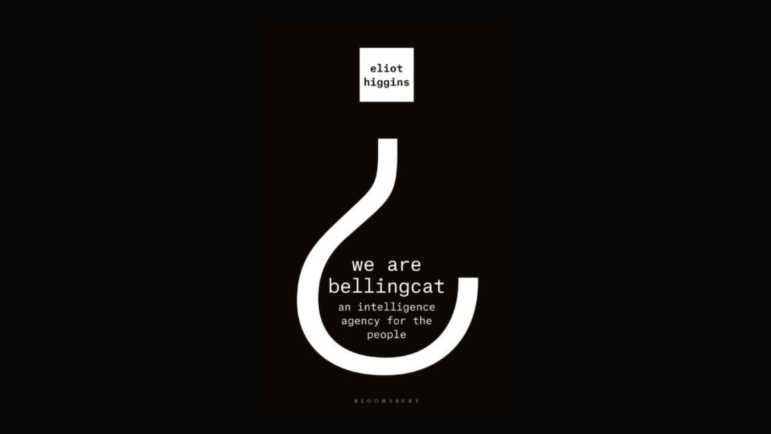
Becoming Bellingcat: An Excerpt from Eliot Higgins’ New Book

When a former Russian double agent collapsed on a bench in a quiet British cathedral town, it looked like an assassination attempt. Experts soon identified the poison nerve agent Novichok A234. The team at the open source investigative site Bellingcat were watching, and waiting for a chance to dig into what had happened and who was behind it.