Resource
Remote Sensing and Data Tools for Environmental Investigations
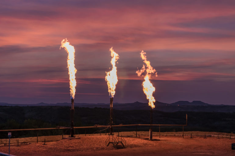
This edition of the GIJN Toolbox explores global databases and remote sensing resources that reporters can use to investigate local environmental threats.
This edition of the GIJN Toolbox explores global databases and remote sensing resources that reporters can use to investigate local environmental threats.
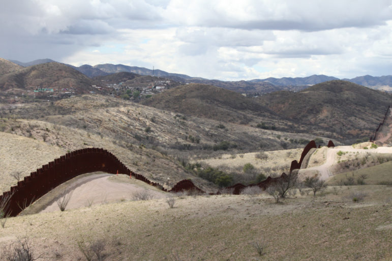
Geographical information system modeling — a digital technology that allows geographers to perform spatial, data-driven analysis of landscapes — is providing an insight into why some undocumented migrants perish while crossing international borders, including in the Sonoran desert on the border between Mexico and the United States.