Accessibility Settings

color options

monochrome muted color dark

reading tools

isolation ruler

Tag

geospatial data

2 posts

Reporting Tools & Tips

Using Geospatial Technology during a Pandemic

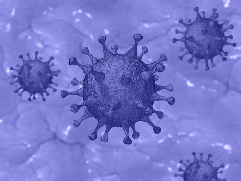
Geospatial technologies and data can be used to contain and respond to the spread of a disease, but can also help in pre-empting and preventing them. Looking at outbreaks of malaria, SARS, H1N1 and Zika, among other viruses, Avneep Dhingra explores how maps and geospatial technology have helped during different outbreaks.

Data Journalism

GIJN’s Data Journalism Top 10: Useful Chatbots, Less-Is-More Tables and Data Mapping Billions of Birds

What’s the global data journalism community tweeting about this week? Our NodeXL #ddj mapping from Sept 17 to 23 finds numerous data to map, from @NatGeo’s migration of billions of birds to @morgenpost’s Berlin schools and @A24COM’s internet access in Argentina. There’s also @dhanalytics’ tips on improving data tables and @mcrosasb on two useful chatbots.