Reporting Tools & Tips
Using Geospatial Technology during a Pandemic
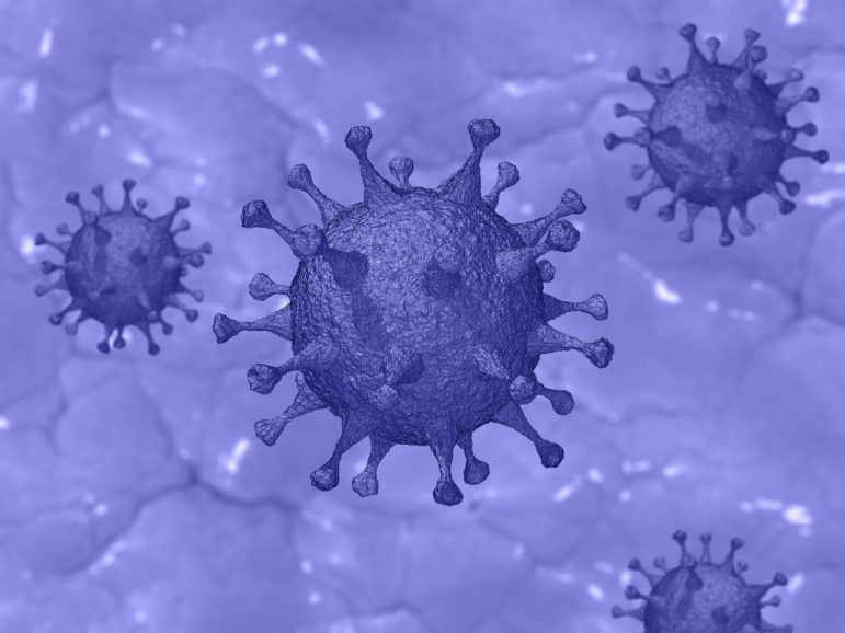
Geospatial technologies and data can be used to contain and respond to the spread of a disease, but can also help in pre-empting and preventing them. Looking at outbreaks of malaria, SARS, H1N1 and Zika, among other viruses, Avneep Dhingra explores how maps and geospatial technology have helped during different outbreaks.
