
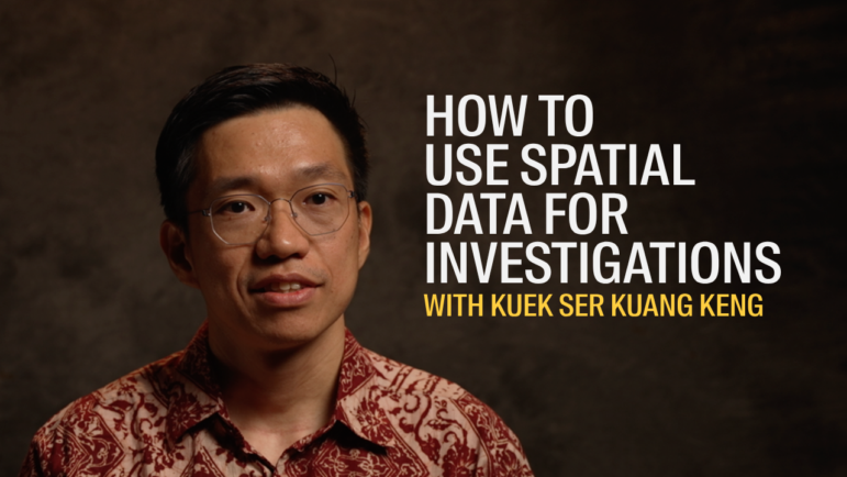
Using Geospatial Data for Investigations • Kuek Ser Kuang Keng
How do you investigate places you can’t reach? In this masterclass video, Kuek Ser Kuang Keng, data editor at the Pulitzer Center, shows how (geo)spatial data can unlock stories in inaccessible or restricted areas.
From defining your hypothesis to sourcing and verifying data, he walks through the full workflow: where to find spatial data, how to handle its specific formats, and which tools to use, including QGIS, Google Earth, and Google My Maps.
The session focuses on practical uses: analyzing satellite imagery, comparing datasets over time, and presenting findings through maps and visuals that make complex investigations clear and compelling.
Credits:
- Interview: Sarah Ulrich
- Video Editing: Quentin Egloff
- Music: Lionel Marçal
- Filming: Ron Lopez – Reynald Ramirez – Hashim Hakeem
- Supervision and Coordination: Sandrine Rigaud
- Special thanks: Glenn Chong
- With the support of The Konrad-Adenauer-Stiftung
Tools:
Satellite Imagery: